Walking Trails
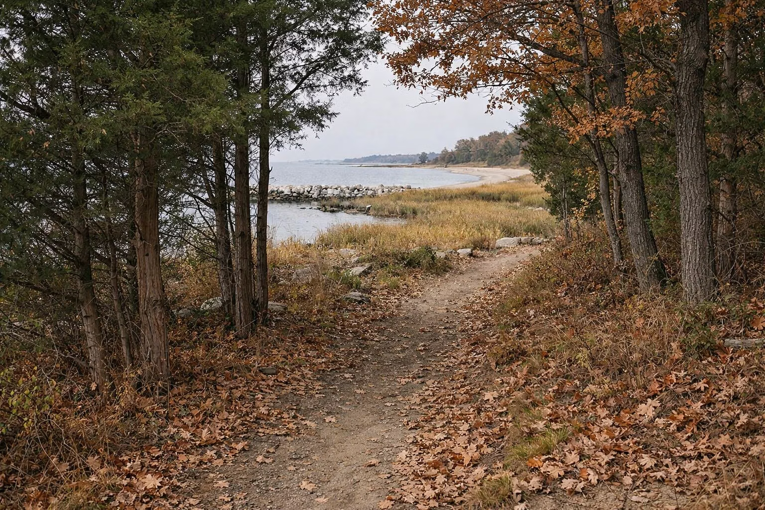
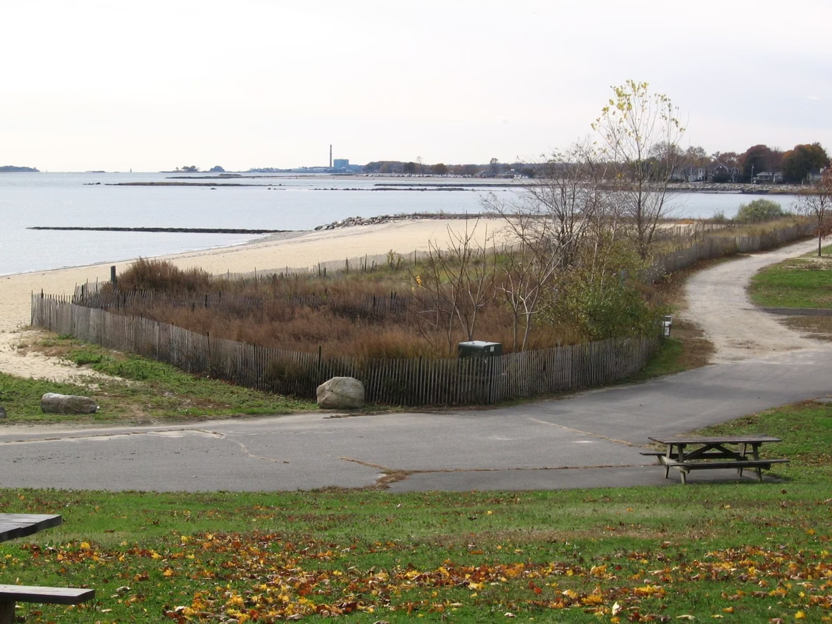
Sherwood Island is a place for easy walks, not long hikes. On the east side, a salt marsh nature trail with numbered stops starts by the Nature Center and leads to a viewing platform over the marsh, and grassy paths loop around the open fields. On the west side, forested trails wind through the picnic grove. Add more than a mile of beach and you can walk for an hour or two without repeating yourself.
Walking at a Glance
The Salt Marsh Nature Trail (East Side)
DEEP's park map shows a nature trail with numbered stops beginning by the Nature Center, between East Beach and the salt marsh, and a viewing platform looking over the marsh. The trail is flat and short, good for children and for anyone with binoculars.
The marsh is the reason to come. Fresh water from New Creek and Mill Creek meets the salt water of Long Island Sound here, and the creeks fill and drain with the tide. In summer, look for fiddler crabs on the mud, egrets and herons in the channels, and ospreys overhead. In fall, the spartina grass turns gold. See bird watching for what to look for by season.
Grassy Paths and the Fields (East Side)
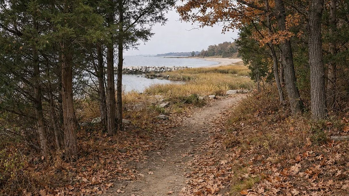
DEEP describes the east side as having grassy walking paths around the salt marsh and the model airplane field. These mown paths are wide and open, with views of the Sound, and they are the best choice on a breezy day for kite flyers and families with strollers.
Forested Trails (West Side)
The west side has forested walking trails among oaks and cedars, through and around the picnic grove and the 18-hole disc golf course. DEEP's own photo gallery shows a woodland path here. They are short, shaded and a welcome break from the sun in summer. In summer the grove is busy with picnickers; from fall to spring the woods are quiet.
The Beach Walk
DEEP says the beaches stretch over a mile along the Sound. A walk from East Beach toward Sherwood Point and on to West Beach is the park's longest continuous stroll. Go at low tide for the widest sand and to see the bands of red, white and black sand (beach, tides). From Sherwood Point you pass the 9/11 Living Memorial, and on a clear day you can see the Manhattan skyline.
Distances
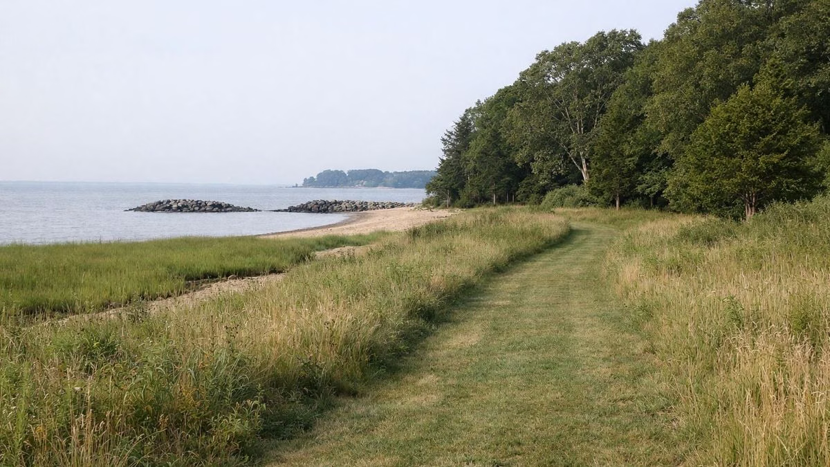
DEEP does not publish trail lengths for Sherwood Island, so this guide does not invent them. Everything is close together on a 235-acre park, and most walks take minutes, not hours. For layout, see the park map page.
Biking
DEEP and the Friends both list biking among park activities. The park roads and walkways are flat; keep to the roads and paved paths, and walk bikes on crowded summer walkways and on the nature trail.
Tips
Walking Trails FAQ
Are there hiking trails at Sherwood Island State Park?
Yes, short and easy ones: a salt marsh nature trail with a viewing platform on the east side, grassy paths, and forested trails on the west side.
How long are the trails at Sherwood Island?
DEEP does not publish trail distances. The trails are short walks within a 235-acre park, plus over a mile of beach.
Is Sherwood Island good for walking in winter?
Yes. The park is open year-round from 8 a.m. to sunset, and leashed dogs are allowed from October 1 to April 14.