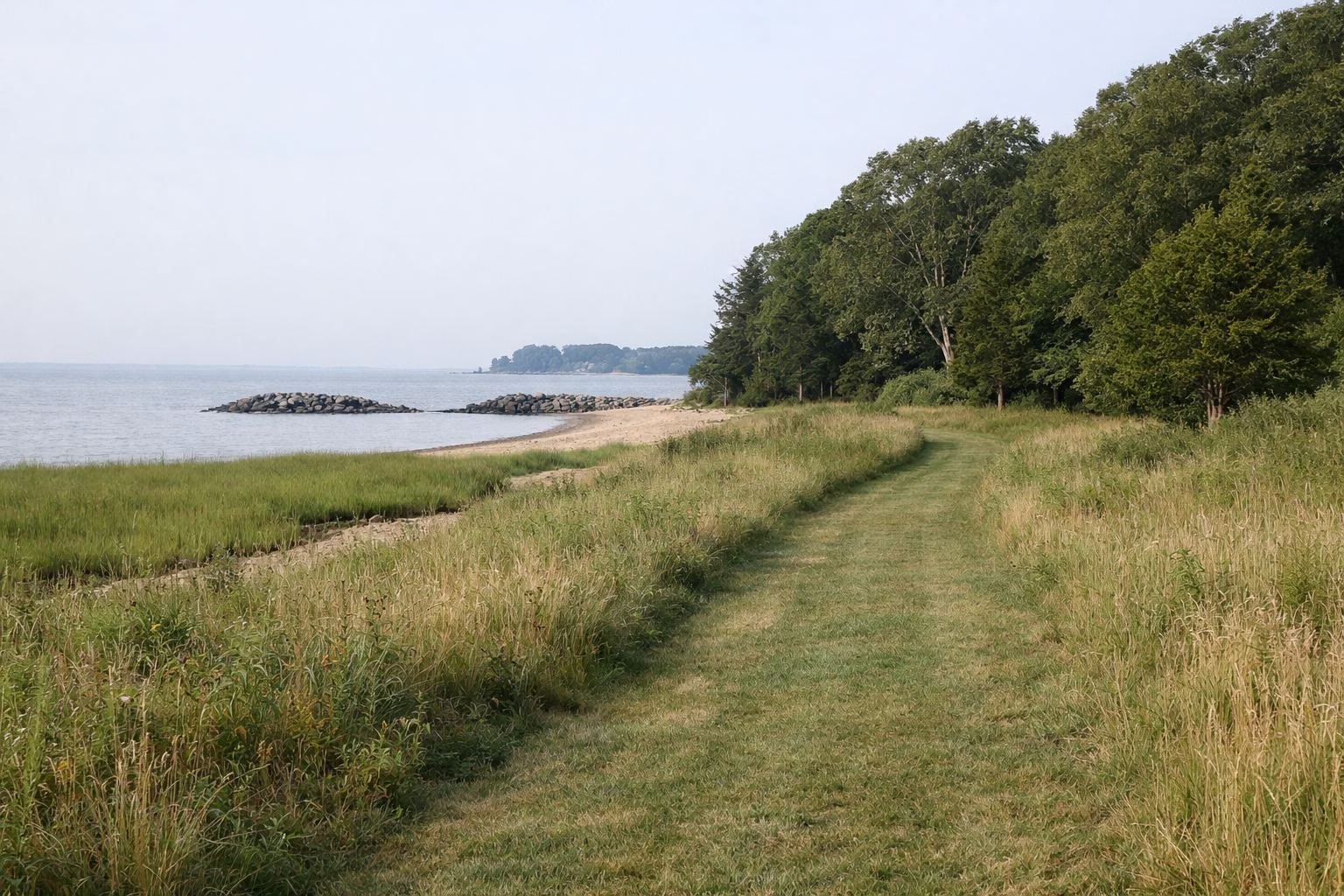
Park Map
The official Sherwood Island State Park map is a one-page PDF from CT DEEP, linked from the park's page on ctparks.com. It shows the entrance from I-95 exit 18, the ticket booth, the East Beach, West Beach and pavilion parking lots, both beaches and their swimming areas, the 9/11 Living Memorial on Sherwood Point, the Nature Center and nature trail, the jetties and the model aircraft area. Below is the same map in words.
Map at a Glance
How the Park Is Laid Out
The park is a wide point of land on Long Island Sound, divided into three parts:
- West side: West Beach, its bathhouse and lot, the wooded picnic grove, forested paths and the 18-hole disc golf course.
- Sherwood Point (centre): the peninsula with the 9/11 Living Memorial, the main pavilion (closed for 2026) and the pavilion lot.
- East side: East Beach, its bathhouse and lot, the Nature Center, the salt marsh nature trail and viewing platform, the open fields and the model aircraft area.
The rail line (Amtrak and Metro-North) runs along the inland edge of the park; you cross it on the Sherwood Island Connector on the way in.
From the Entrance
- Leave I-95 at exit 18 and follow the Sherwood Island Connector into the park.
- Stop at the ticket booth just inside (out-of-state cars pay here in season; parking).
- The park road then branches toward the lots: West Beach to one side, East Beach to the other, and the pavilion lot on Sherwood Point between them.
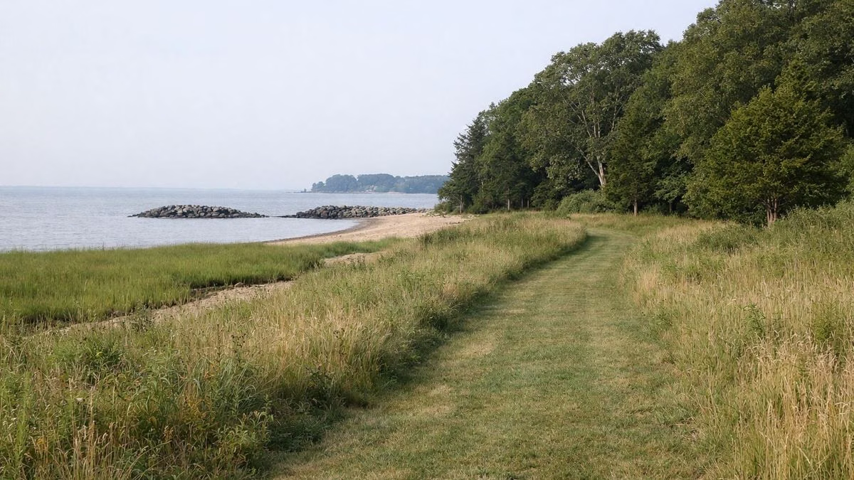
What the Map Marks
- Parking: East Beach, West Beach, pavilion, overflow, bus and accessible (handicapped) parking.
- Beaches: East Beach and West Beach, each with a marked swimming area (beach).
- Structures: main pavilion, concession, bathrooms and bathhouses.
- Nature: the Nature Center, numbered nature trail stops and a viewing platform over the salt marsh (walking trails).
- Shoreline: a stone jetty and a wood jetty, and the fishing areas (fishing).
- Recreation: the model aircraft area and a ball field on the east side.
- Walkways: the beach walkway, park roads and a path the map labels "pool path."
Getting the Maps
- DEEP park map (PDF): linked as "Park Map" from the Sherwood Island page on ctparks.com. Its map date is February 1, 2010. Use it for layout, not for current hours or closures.
- Disc golf course map: published by the Friends of Sherwood Island and linked from DEEP's page.
Download both before you go; mobile signal is usually fine, but a saved copy is faster at the ticket booth.
Tips for Finding Your Way
- Decide East Beach or West Beach before you reach the booth; the lots are far apart.
- For the memorial, follow signs to the pavilion lot on Sherwood Point.
- For the Nature Center and marsh trail, park at East Beach.
Related
Parking & fees · Hours · Plan your visit
Accessible Routes
DEEP lists accessible parking, restrooms, picnic tables and the 9/11 Memorial among the park's accessible features, and the park itself is low and flat, with park roads and a beach walkway shown on the map.
Park Map FAQ
Where can I get a map of Sherwood Island State Park?
CT DEEP publishes a one-page park map PDF, linked from the Sherwood Island page on ctparks.com. The Friends of Sherwood Island publish a separate disc golf map.
What is on the Sherwood Island park map?
The entrance and ticket booth, East Beach, West Beach, pavilion, overflow and bus lots, both beaches, the 9/11 memorial, the pavilion, the Nature Center and nature trail, the jetties and the model aircraft area.
Which parking lot is closest to the 9/11 memorial?
The pavilion lot on Sherwood Point, between East Beach and West Beach.