Tides at Sherwood Island
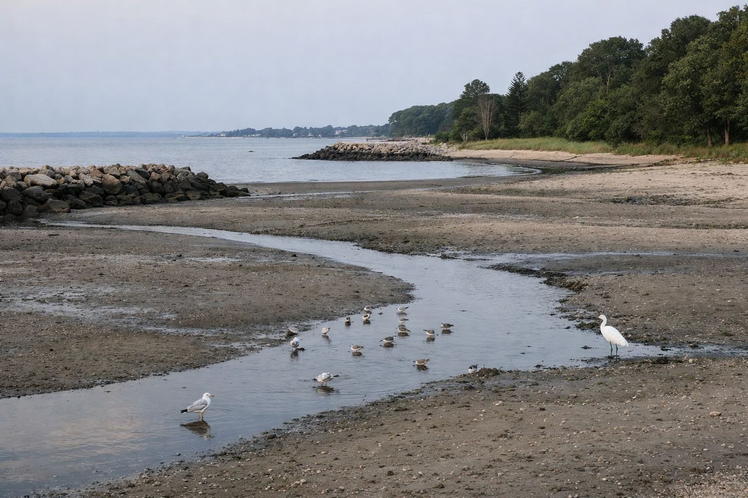
For tide times at Sherwood Island State Park, use NOAA's predictions for the Saugatuck River station in Westport (station 8468191), about two miles west of the park, or Southport Harbor (8467726), about three miles east. Like the rest of Long Island Sound, the shore here has two high tides and two low tides a day, roughly six hours apart, and the tidal range in the western Sound is large enough to change the beach noticeably.
Tides at a Glance
Where to Get Today's Tides
- NOAA Tides & Currents: search for station 8468191, Saugatuck, Saugatuck River, CT at tidesandcurrents.noaa.gov for official predictions by day, week or month, in a table or graph.
- Second choice: 8467726, Southport, Southport Harbor, CT, on the other side of the park.
Both are NOAA prediction stations within a few miles of Sherwood Island. Times at the park itself fall between them and are close enough for planning a beach day or a fishing trip.
Reading a Tide Chart
A NOAA prediction lists each high (H) and low (L) with a time and a height in feet above mean lower low water. Heights below zero mean an unusually low tide, usually near a full or new moon. The tide rises for about six hours, then falls for about six.
How the Tide Changes a Visit
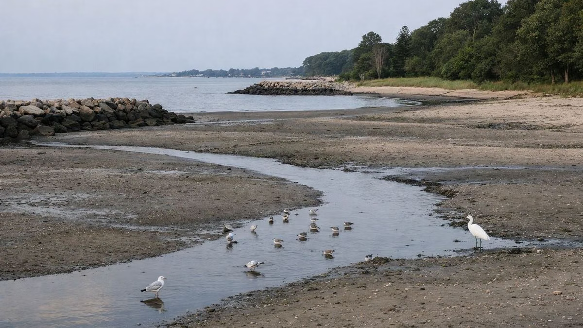
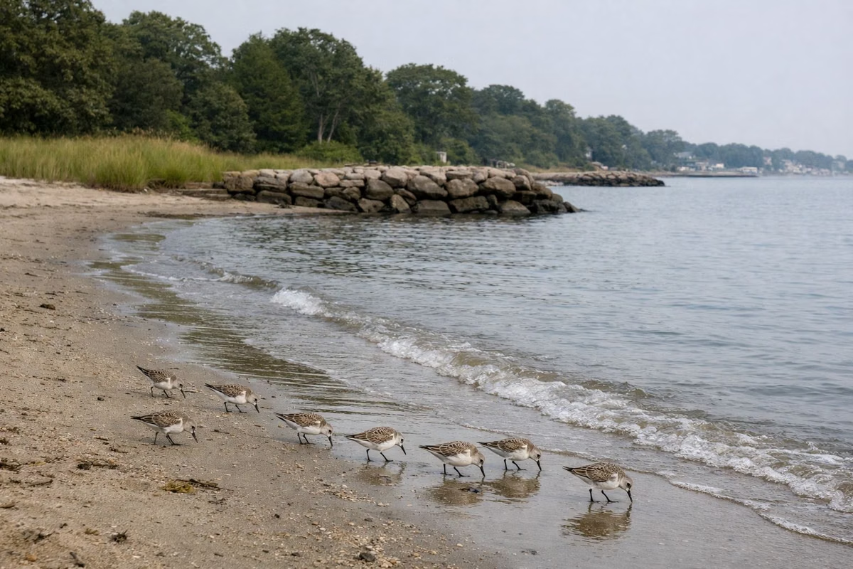
- Low tide: the beach is at its widest, the shallows run out a long way, and the sorted bands of red, white and black sand and the shell lines are easiest to see (beach). Tidal flats and creek mouths draw feeding shorebirds (bird watching).
- High tide: the beach narrows, and water reaches deeper into the salt marsh on the east side. Swimming starts closer to your towel.
- Moving water: anglers usually do best on a moving tide around the jetties (fishing).
Safety
- Do not walk out onto sand flats or along the jetties without watching the tide; it comes back faster than people expect.
- The jetty rocks are slick near the waterline at any tide.
- After big storms, a high tide combined with onshore wind can flood low parts of the shore.
Pair the Tide With
Weather for wind and rain, and the water quality report for swimming. Park hours are 8 a.m. to sunset (hours), so a dawn low tide is out of reach in summer.
Tides and the Salt Marsh
The east side of the park is a salt marsh fed by tidal creeks. At high tide, water spreads through the spartina grass; at low tide, mud banks appear along the creeks, and that is when fiddler crabs come out and wading birds feed. A walk on the nature trail to the viewing platform at mid to low tide shows the most wildlife. The Nature Center beside the marsh explains how the tide shapes the estuary where New Creek and Mill Creek meet Long Island Sound.
Tides and Fishing Seasons
Remember that where you can fish depends on the date, not the tide: from April 15 to September 30 only Sherwood Point and the two jetties are open to anglers; from October 1 to April 14, the whole beach, 8 a.m. to sunset (fishing).
Tides at Sherwood Island FAQ
Where can I find tide times for Sherwood Island?
Use NOAA's tide predictions for station 8468191, Saugatuck River in Westport, or 8467726, Southport Harbor. Both are within about three miles of the park.
How many tides a day are there at Sherwood Island?
Two high tides and two low tides, about six hours apart, as on the rest of Long Island Sound.
Is low tide good for the beach at Sherwood Island?
For walking and shell collecting, yes: the beach is widest and the sand bands are easiest to see.